Things to Do in Cork "Old Railwayline"

[Click Me]
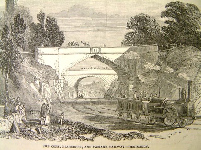
The Cork, Blackrock and Passage Railway was a narrow gauge railway in County Cork, Ireland. It was originally opened in 1850 as a broad gauge (5' 3" or 1600 mm) railway between Cork and Passage West, but was converted to 3' gauge (914 mm) in 1902. An extension southwards from Passage West to Crosshaven opened in 1904. The railway closed in 1932 Since the closing of the railway, large sections of the line have been paved over to serve as a recreational walkway. The Albert Road station building has survived. It was for many occupied by Metal Products Ltd. who operated a factory producing nuts, bolts and other metal components. It is currently occupied by Carey's tool hire company. The section of former rail between Albert Road and the Atlantic pond has been mostly removed. From the Atlantic Pond to Rochestown a paved footpath follows the route of the rail line. The rest of the walkway to Passage consists of a gravel walkway the follows the river. There is evidence of the rail line between Passage and Monkstown, then onto Carrigaline. From the eastern edge of Carrigaline town the walkway continues to the outskirts of Crosshaven.
Along the route you can still see various remains of the original rail line. The Blackrock signal house and platform are still intact, it is located under the bridge on the Blackrock road close to Blackrock church (the house is now privately owned). The bridge over the Douglas estuary, between Blackrock and Rochestown is still standing, although it had fallen into disrepair until the late 1990s when extensive repair work was completed. The remains of the Rochestown platform can be seen from the Rochestown road, opposite the pub "The Rochestown Inn". At various points on the route from Passage to Monkstown and Carrigaline, smaller bridges, old water towers and tunnels are visible. Along the length of walkway from Carrigaline, signal lights for the trains have been restored and line the Owenabue River to Crosshaven. . (source wikipedia)
